Wednesday, February 20, 2008

Airstrike Challenge II

Photobucket

I believe in making good things better, and that's why I took it upon myself to breath some new life in one of YS Flight's best ever maps: Airstrike Challenge. Airstrike Challenge was perfect in many ways, but since it was built for older versions of YS there was lots of room for improvement.

The old map looked like this:
Photobucket

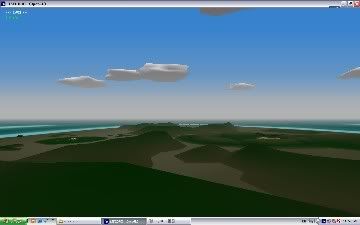
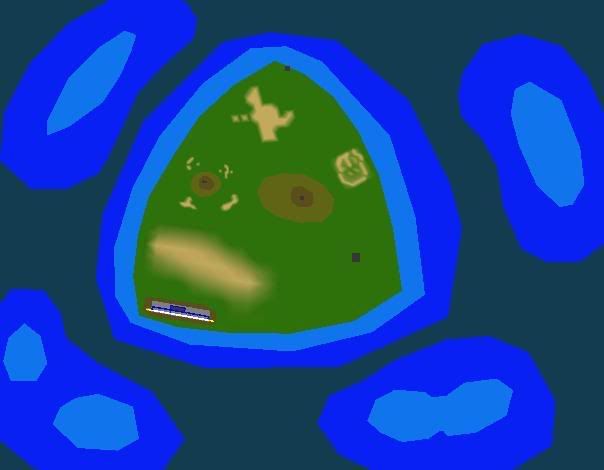
This is the new map:
Photobucket

There is one huge ridge dividing the enemy bases and your friendly airfield. This was good because you'd have to fly around the mountain to suprise the enemy during an attack, but bad because it doesn't make any sense. Where after all would you find a friendly airfield surrounded by enemy fortifications? Or an enemy nuclear reactor less than 4 miles from a friendly (but occupied) city?

So I started thinking. To make the situation more plausible I'd have to make the island completely invaded by the enemy. But that would mean the airfield would be inaccessible. So, I figured we-- the YSpilots -- would have to regain control of the island, which has been overrun by enemy forces. And that's what Airstrike Challenge II is all about.

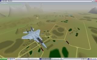
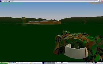
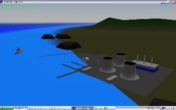
So, what did I change? Well, I kept the good things--lots of different enemies, small compact size, the ridge-- and I added some more of it. I put in more mountains, smoothed out the colours, made em darker too, updated the groundobjects with Oranleed's Fufanl pack and 2CH, expanded the city adding enemy buildings (that shoot back), added ominous looking black boulders at the coast, and turned the truck depot in the centre of the island into a helicopter base.

Different ground objects:
Photobucket

More mountains:
Photobucket

Expanded city perimeter:
Photobucket
(I changed the sea colour after taking this picture)

Modified the Nuclear reactor base and put black boulders along the coastline:
Photobucket
(again with the old sea colours)

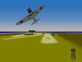
What makes this release different however, is my MISSION PACK for Airstrike Challenge II. You can play 5 missions in sequence, leading you from landing at the beach with only an M-16 with grenade launcher, to regaining the island with wingmen.

The story goes like this:
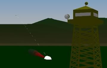
You are a one-man covert operative [Maru Soldier] sent out to regain control of Challenge Island (couldn't think of a better name). The first thing you do is land at a small vehicle depot guarded by bunkers and guardtowers. After taking them out you rendez-vous with a resistance fighter coming to you aid.
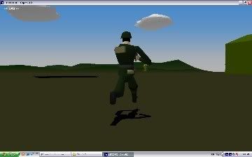
Photobucket

Together you take an army jeep with a machine gun mounted on top [Maru M151 with gun] and race to the helicopter base. There you take out all enemy fortifications and secure an OH-6 Littlebird special ops chopper for yourself and your buddy (In a different mission you can also choose to take an MI-24 Hind [Realism pack], but that really makes it too easy).
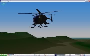
Photobucket

You fly the OH-6 Littlebird [CEP-2] to the airstrip on the South side of the island, making sure you are not spotted by the Su-33's and Mig-27's on patrol. You go in fast and accurate and take out all guard towers and AAA-guns. Take out the parked MI-24's before they come after you though. Secure the Harriers parked along the runway and land.
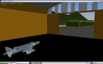
Photobucket

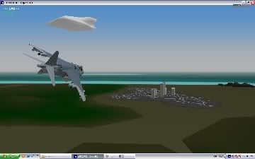
Finally you got some firepower then, but you have to use it wisely. Your fellow fighter pilots are held hostage in the city which is occupied by the enemy on every streetcorner. Flying the AV-8B Harrier II [Oranleed Hangar Pack], you must make sure to destroy enemy buildings and vehicles, all while keeping an eye out for those Su-33's and Mig-27's that are lurking behind you. Land in front of the large hangar in the city centre to free your wingmen and complete this mission!

City centre Hangar:
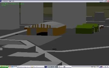
Photobucket

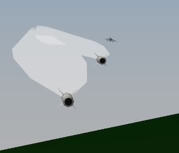
Finally then we're getting somewhere. You and your men are back in the seats for the final push. This time 4 Harriers take on the entire island--enemy fighter patrols and ground bases. Your primary objective is to destroy the Nuclear Reactor and deprive the enemy of its most valuable asset on the island. Secondly you must also knock out their radarbase to disrupt their communications. Lead your wingmen well during the assault, because you will need their assistance!
Photobucket

Can't wait to try it out?
Just download the files here:
http://www.4shared.com/file/38760612/8d472236/airstrike2.html


Photobucket


Ground Objects and Aircraft are located in the folders of the people that made them, so I hope no-one objects to me using their objects. The OH-6 is one of my favourite choppers to fly, and this map just screamed "harrier!" at me when I thought of which airplane to use. The one in Hangar is the prettiest one!

So, get ready for a challenge!
http://www.4shared.com/file/38760612/8d472236/airstrike2.html

Photobucket

Photobucket

Saturday, February 16, 2008

Guilin

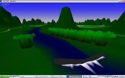
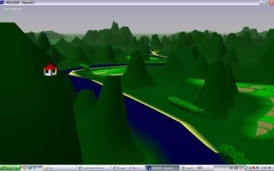
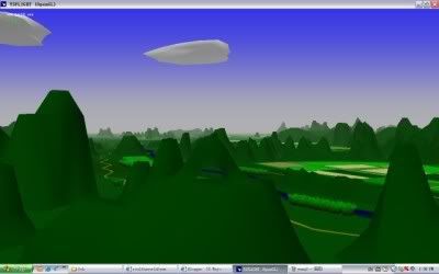
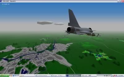
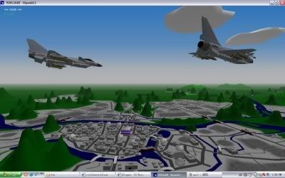
When I lived in Guilin from 2005 to 2007 (pronounced 'gway-lin') I often heard and saw the new Chinese J-10 fighters fly above the city. I often wondered what it would look like for the fighter pilots in their planes to fly overhead one of the world's most beautiful sceneries, and now YS Flight has given me the opportunity to see for myself.

Photobucket

Download link:
http://www.4shared.com/file/38141350/15cb93ed/Guilin.html

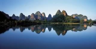
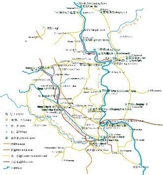
I have tried to recreate Guilin City, as well as its little neighbour Yangshuo, and I think it's come out pretty well in my opinion. Yangshuo is a village situated South of Guilin, on Li River which flows from Guilin down to Yangshuo. It's about 60 kilometres away from Guilin City, and it's completely surrounded by Karst (limestone) mountains.
Photobucket

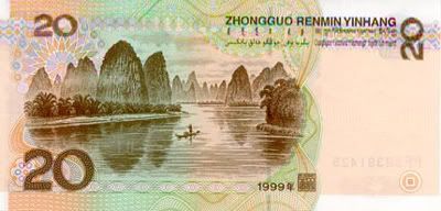
It's a tourist hotspot, and chances are that some of you reading this have actually been there! The Clintons visited the place during their visit to China some years ago, and I have also included Xingping village in this map where the Clintons went for an excursion. Xingping is also the location of the backside of China's 20 Yuan banknote:
Photobucket

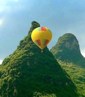
I myself have visited all the areas around Guilin personally during the 2 something years I have lived there, and I have included as many details of the area as I can remember. Moon Hill, 9-horse-fresco hill, Xingping pagoda, and my favourite swimming hole are all present, and if you have the hot-air balloon in your airplane list you can save yourself 800 Yuan by flying in my scenery for absolutely free! The Giggling Tree guesthouse there (including tree), and I've been creative with the elevation grids to make thick bamboo bushes along the riversides.
My favourite swimming spot:
Photobucket
Xingping pagoda:
Photobucket
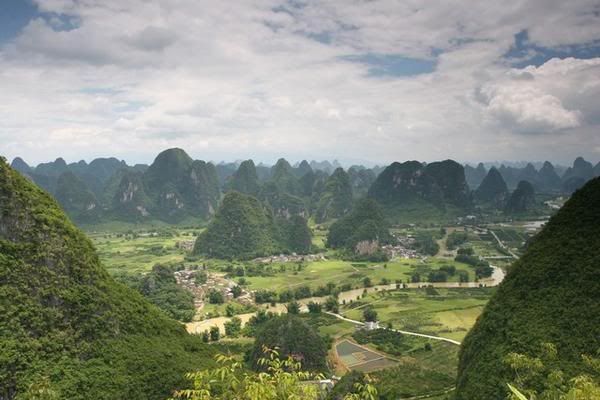
My view from Moon Hill:
Photobucket
In reality:
Photobucket

Guilin City isn't as detailed as the Yangshuo area, but that's because I don't like making cities very much. I much prefer mountains and gorges, as I'm sure many pilots do too! I have tried making the maps together in one scenery file, but due to lag this proved impossible. There are so many mountains and polygons in the maps, that even when you are flying on the outside of the map looking inwards, you'll experience some lag. However, if you fly around the centre of the map the computer should be fine and lag minimal.

Guilin city view:
Photobucket

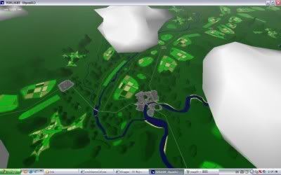
Yangshuo bird's eye view:
Photobucket

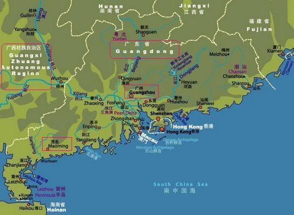
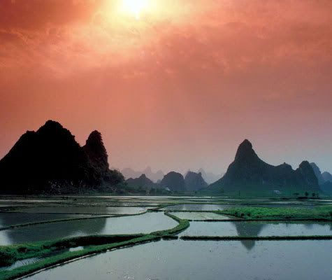
Guilin is situated in South East China (about 10 hrs drive from Hong Kong), and it is renowned for its limestone rock formations which give it a surreal character at times.
Photobucket
Karst peaks dot the landscape, and escpecially when the sun goes down the colour of the sky can transform the place in some out of this world location.
Photobucket

In fact, if you don't know where to go to on your next holiday, well, have a look around in my map and I'll see you in Yangshuo next summer. I'll be there taking some tourgroups around this summer as well, and I'm definitely going for a real balloon ride then. For extra realism put a fan next to your computer screen and turn it in your direction on maximum. There are actually no skydiving or paragliding activities in Yangshuo, but tons of climbers go there because of the cool rock formations. People climb 180 degrees on Moon Hill as well.

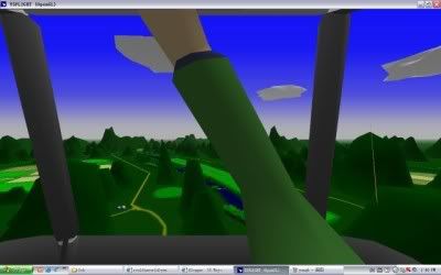
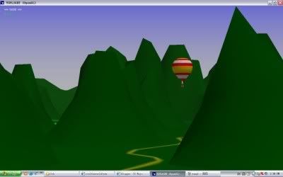
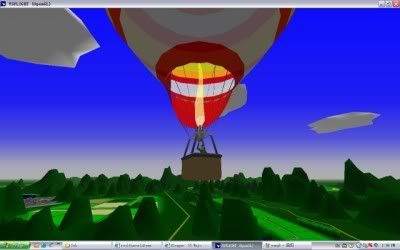
Go for a balloon ride in Yangshuo (the landing and take off sites correspond with reality):
Photobucket Photobucket Photobucket

The next best thing to this:
Photobucket Photobucket

To the North of Guilin you can find Longsheng, the terraced mountain ranges you have probably seen in pictures here and there. I have not focused on that area, because it is simply too hard for me at this stage. I did put some mountains North of Guilin city though just to fly around in. For more combat orientated people I have put in an enemy region right next to Guilin Airforce Base (fictional btw, I couldn't get a proper map). It's just a few minutes away from KWL airport as well, which I made as true to life as I could (I'm not as good with airfields as most other mapmakers though, still don't know how ILS works for instance).

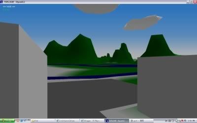
This is the simulated view from my house:
Photobucket

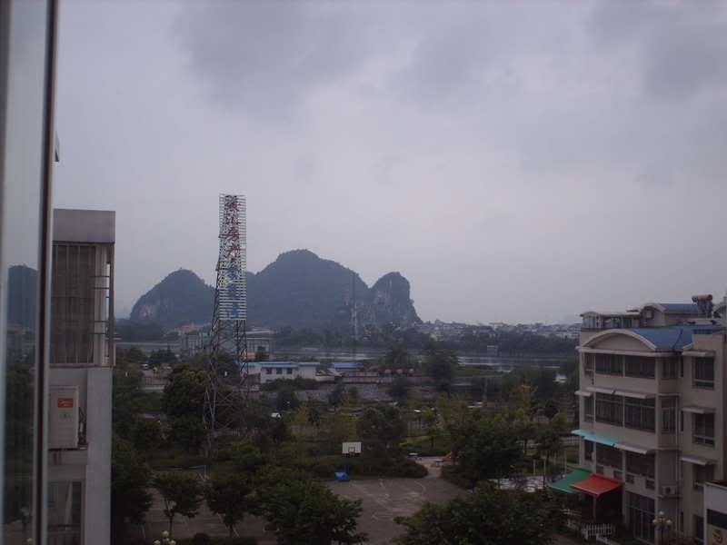
This was the real one:
Photobucket

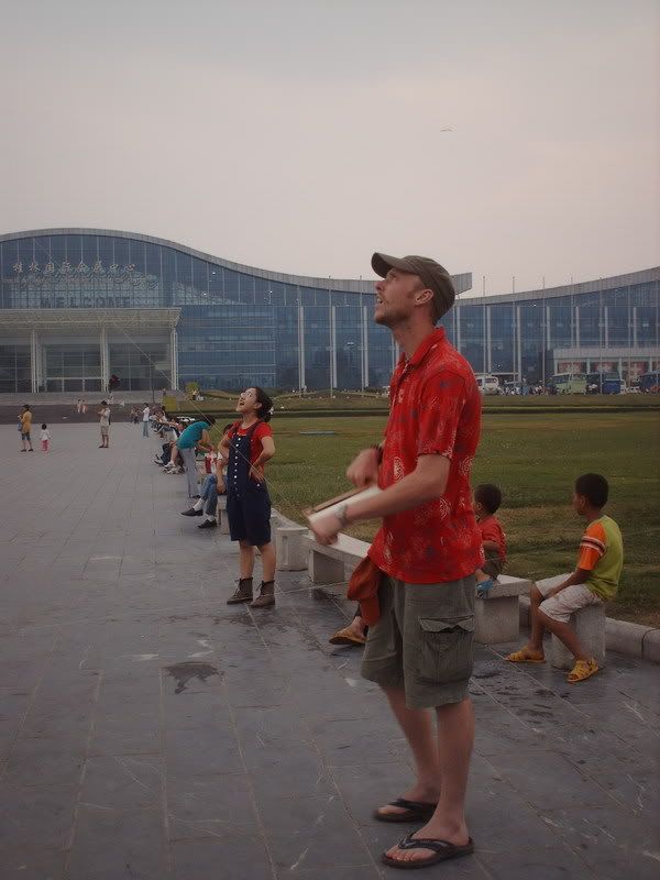
Me flying a kite in Guilin:
Photobucket

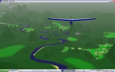
Me flying a different kind of kite, in a different kind of Guilin:
Photobucket

This could be you:
Photobucket

If you can't make it all the way there:
Photobucket

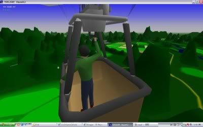
Now I know what it's like to do this:
Photobucket

Want to find out? Download:
http://www.4shared.com/file/38141350/15cb93ed/Guilin.html

Thursday, February 14, 2008

Afghanistan

My second release: Afghanistan!
Download link: http://www.4shared.com/file/37342772/67cf4693/Afghanistan.html

It's a map of a small part around Kabul, but since it is impossible to make the map too large (realsize) because of lag and the scenery editor program, I decided to make it fictional. Kabul is obviously larger in real life, and trouble spots are located farther away in real life from what I show in my map, but it's about finding a nice middle way between realism, the program's computing abilities, and flying pleasure.

Photobucket

I made it suprisingly quick, because I was actually working on a different map at the time (not Guilin...). That might sound strange, but working on the other map (my first and as yet unreleased project) allowed me to practise on the functions of the scenery editor program, and whip up some items ready to use in Afghanistan. Besides, once I got the mountain and road templates I could simply import them and fit them in place like a big empty puzzle. Of course, gradation quad strips were very important, because they make it look natural. I think most existing maps would look much more convincing if people redid them with grad strips on them.

Photobucket

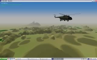
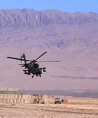
Afghanistan in my mind is a fascinating map to fly in. The history of the country is amazing, as are the views, and lets not forget that Coalition forces are currently conducting combat missions there as we speak. This, combined with the Soviet attempts to subdue the Afghans in the 80's, makes for a varied range of CAP's to fly, in various different airplanes. And as a bonus you can actually experience how difficult it is to search and attack Mujahedeen that hide in the huge mountain ranges of Afghanistan.

Photobucket
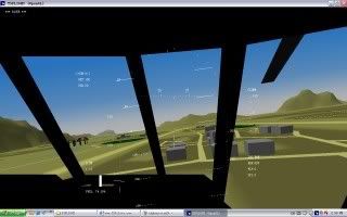
view from an mi-17 Hip Soviet helicopter.

I released this map very fast after Iwo Jima, and it proved to be very popular with the YS Community, which boosted my self-confidence in map making for sure. Some posters even said it is their all time favourite, which is a very great compliment for me I think. Now all I got to do is make their new all time favourite (and I already got a nice idea of what to do). This is the release page of yspilots:
http://www.yspilots.com/forum/viewtopic.php?t=6275

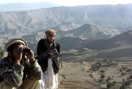
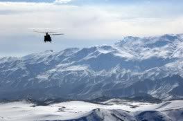
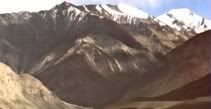
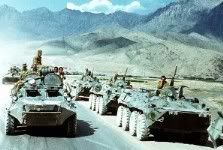
These are some pictures I collected before making the map:Photobucket

Photobucket

Photobucket

Photobucket

Photobucket

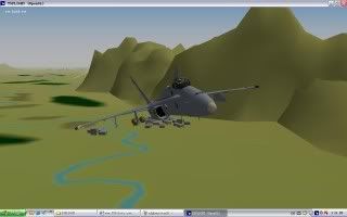
A funny thing happened when I was on a random flight in my scenery when I tried to attack the Mujahedeen I perched on the mountains in my map. I ordered my 3 wingmen (F-18's) to attack the ground forces and went in towards the enemy. However, the next thing I know is that I see my wingmen bomb a village full of civilian ground objects!! I had meant for them to follow me in bombing the cluster of enemy forces, but I had forgotten that I put one enemy house in between the other friendly village houses, so the computer automatically sent them to that one house. Nothing to worry about you would think, were it not that a computer automated attack usually involves bombs, and dropping them with 2 at a time. So, what happened was that 3 F-18 Hornets dropped 6 250 lbs bombs on an enemy house surrounded by friendly houses, completely levelling the entire village... How realistic can you get? :)

Photobucket

Photobucket

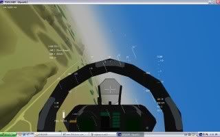
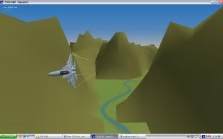
One of the coolest things I think about my Afghanistan map is that you can actually fly through a gorge with high speeds. It's the first and only map (not for much longer though) that has a gorge, and it's way cool.

This is how you do it:
Photobucket

Iwo Jima

My first add-on release: Iwo Jima!

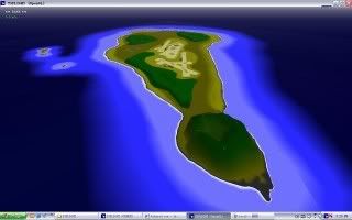
The island of Iwo Jima is not my first project, but it is my first add-on release.
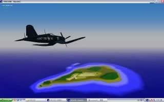
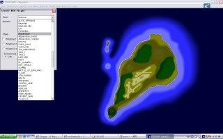
Being a nice and small island, I experimented with gradation strips, and could create the island in 2 days. The result was this:

Photobucket

However, I hadn't quite got the hang of making mountains yet, nor putting in ground objects, so a day after I put the first release out on YSpilots.com, I felt I had to do a small make-over of the island.

Photobucket

I still have the first edition of the island of course, and both items are available here:

Version 1:http://www.4shared.com/file/37059040/cb56bee6/iwo.html

Version 2:http://www.4shared.com/file/37104471/61a3f167/iwo2.html
I think the second version is better in all respects though, except perhaps lag. The ground objects are in Fufanl in the Oranleed OHP map pack, and make it look pretty cool. My favourites are the guard towers.
Photobucket

The island of Iwo Jima has of course an interesting history being the first originally Japanese territory the Allied forces captured in the Second World War. I remember seeing the movies 'Flags of my father' and 'Letters from Iwo Jima', both by Clint Eastwood, and so I thought it would be awesome to create the island and fly close air support missions for the troops as they scramble up the shores.

Photobucket

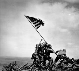
Both movies talk about the battle for Iwo Jima that lasted for a long time, taking a heavy toll on both sides. I like the fact that Mr. Eastwood took the effort to tell both sides of the story, and to tell the history behind the famous picture taken on Mt. Suribachi at the time.

Photobucket

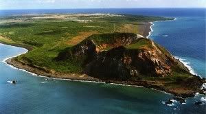
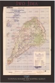
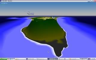
Mount Suribachi is the main eyecatcher on the island, being about 700 meters tall, and sticking out like that. But as you can see, the island has a bit of a different shape in my picture, even though you can see the resemblance. Two reasons for this. Older maps of Iwo Jima have the shape that I modelled my map on, the shape it was during the Second World War, but newer maps have an extended shoreline on the West side of the island. I think this might have changed in the last 50 odd years due to ocean currents washing up sand on that side, or perhaps man-made construction. The other reason is perhaps the way YS flight projects the 3d environment on the screen, making it look a bit stretched on the edges.

Photobucket
This was the map I used to model my scenery on.

I have also reshaped Suribachi in my second version of the YS scenery like so:Photobucket

Of course, Iwo Jima has officially been renamed to Iwa To after WW2, but because of it's history it's still more known to the world as Iwo Jima. And, because I wanted to model the WW2 island, I have also named it as such. More information can be found on, of course, Wikipedia:http://en.wikipedia.org/wiki/Battle_of_Iwo_Jima

I hope you enjoy flying in my scenery of Iwo Jima! Later additions to this map are sure to come when I can acquire a Higgins boat landing craft, which I can use to recreate the landing of the Allied troops, and make a .yfs file.

Photobucket